
Training on map management and usage at Ha Long Bay
From June 17 to June 20, Ha Long Bay Management Department organized a training course on map management and usage at Ha Long Bay for 45 employees.
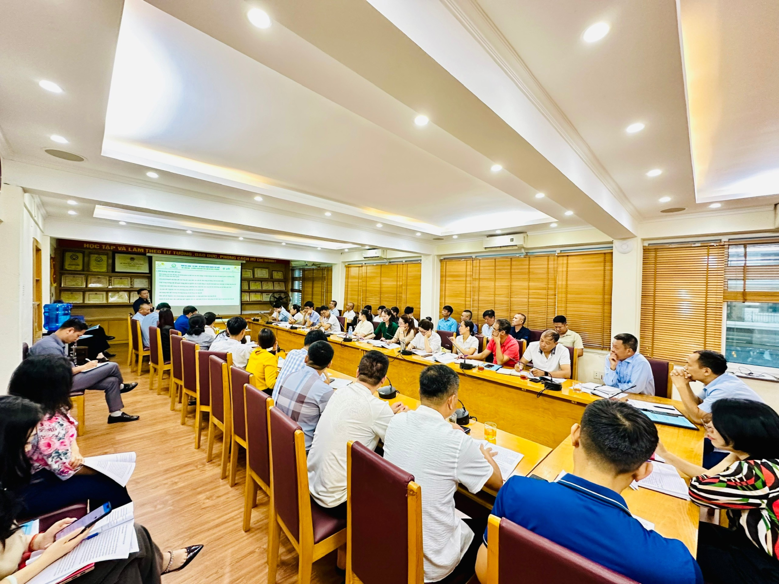
Classroom Overview
The training session was conducted by two lecturers from the Institute of Energy and Environmental Technology Science. The training content included: A basic introduction to cartographic theory, nautical charts, and coordinate systems used in Vietnam; Guidance on how to use basic types of maps; An overview of maps used for managing Ha Long Bay; A basic introduction to GIS software, instructions on how to use and operate ArcGIS; Practical exercises on how to determine coordinates on a map during fieldwork.
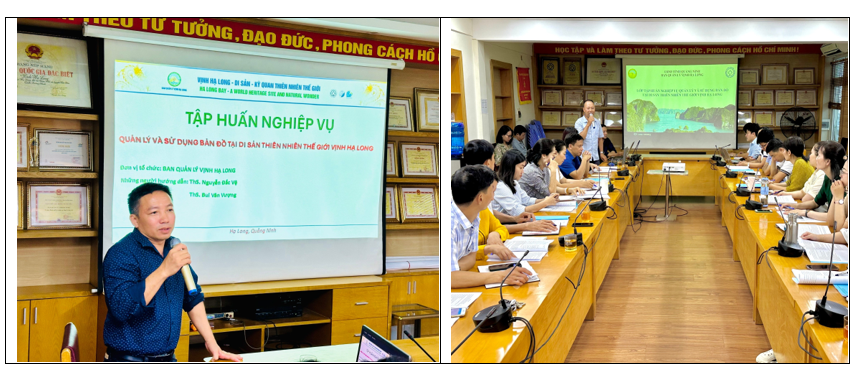
The training course aimed to enhance professional skills in managing and utilizing various types of maps of Ha Long Bay, thereby contributing to improving the effectiveness of advisory work in the management, conservation, and promotion of the values of Ha Long Bay.
Translated by Thuy Ha